
JNCC has been at the forefront of the development of indicators providing an expert lead role, working collaboratively both at the national and international level. Here are highlighted some of the key marine biodiversity indicators where JNCC has had significant involvement. The same indicators support reporting under multiple legislative drivers to streamline assessments (the UK Marine Strategy, the Convention for the Protection of the Marine Environment of the North-East Atlantic (OSPAR), and other international and national requirements such as the Convention of Biological Diversity, Bern Convention, the UK Marine Acts, and strategic frameworks such as the 25 Year Environment Plan).
Contents
-
Benthic Habitats
- Relative Margalef Diversity index
- Sentinels of the Seabed
- Extent of physical disturbance to benthic habitats: fisheries with mobile bottom contacting gears
- Extent of physical disturbance to benthic habitats: aggregate extraction
- Area of Habitat Loss (Pilot)
- Potential physical loss of predicted biogenic habitats
- Intertidal Community Temperature Index
- Birds
- Cetaceans
- Seals
Benthic Habitats
Relative Margalef Diversity index
Reporting Applications: OSPAR, UK Marine Strategy
Latest Assessments:
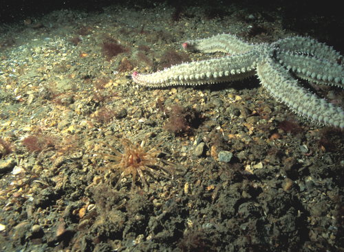
The aim of this indicator is to detect and quantify the impact of a pressure by comparing observed levels of benthic community diversity with baseline conditions (from undisturbed or least disturbed areas). The indicator uses the Relative Margalef diversity Index as an indicator of the benthic habitat quality status. This is an OSPAR indicator, JNCC has led its application to UK waters for national reporting.
The latest results are: Uncertain (Greater North Sea), Not met (Celtic Seas).
Sentinels of the Seabed
Reporting Applications: OSPAR, UK Marine Strategy (pilot assessment)
Latest Assessments:
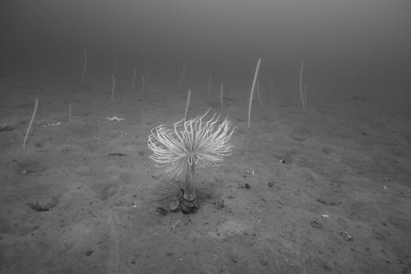
This indicator assesses the environmental status of a habitat by looking at the proportional abundance of sentinel species, which are taxa characteristic of the habitat in reference condition and that are particularly sensitive to pressure. It is expected that the proportion of sentinel species will decrease with increasing levels of pressure intensity. This is an OSPAR indicator, JNCC has led the first application in UK waters producing a pilot assessment for the UK Marine Strategy Part 1 2024.
The latest results are: Uncertain (Greater North Sea), Uncertain (Celtic Seas).
Extent of physical disturbance to benthic habitats: fisheries with mobile bottom contacting gears
Reporting Applications: OSPAR; UK Marine Strategy; Environmental Indicator Framework
Latest Assessments:
Environmental Indicator Framework
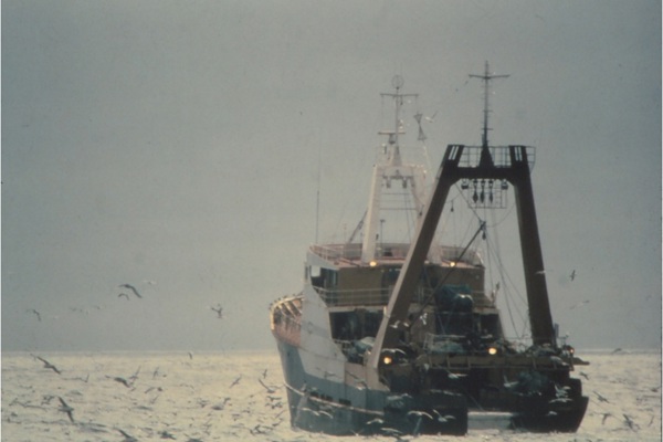
The aim of this indicator is to calculate the extent and intensity of potential damage to a given seafloor habitat. The indicator uses and combines two types of information to produce a map of habitat disturbance: the distribution and sensitivity of habitats (resilience and resistance); and the distribution and intensity of human activities and pressures that cause physical damage. This is one of a set of related indicators specifically looking at disturbance from fisheries with mobile, bottom contacting gears.
The latest results are: Not met (Greater North Sea), Not met (Celtic Seas).
Extent of physical disturbance to benthic habitats: aggregate extraction
Reporting Applications: OSPAR; UK Marine Strategy
Latest Assessments:
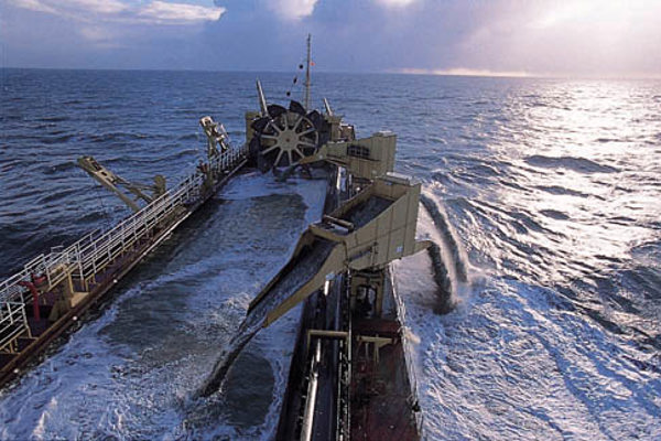
The aim of this indicator is to calculate the extent and intensity of potential damage to a given seafloor habitat. The indicator uses and combines two types of information to produce a map of habitat disturbance: the distribution and sensitivity of habitats (resilience and resistance); and the distribution and intensity of human activities and pressures that cause physical damage. This is one of a set of related indicators specifically looking at disturbance from aggregate extraction.
The latest results are: Met (Greater North Sea), Met (Celtic Seas).
Area of Habitat Loss (Pilot)

Reporting Applications: OSPAR; UK Marine Strategy
Latest Assessments:
The aim of this indicator is to estimate the area of a given seafloor habitat that has been permanently lost due to human activities. Pilot assessments have been produced to trial this indicator with a view to expanding its use in the future. Two types of habitat loss are assessed:
- Sealed loss due to the placement of structures on top of the seabed (e.g. oil and gas platforms, pipelines and wind turbines); and,
- Unsealed loss from human activities such as bottom contact fisheries where intensity is sufficient to cause a permanent change to the natural seabed substrate type or morphology.
The latest results are: Uncertain (Greater North Sea), Assessment not available (Celtic Seas).
Potential physical loss of predicted biogenic habitats
Reporting Application: UK Marine Strategy; Environmental Indicator Framework
Latest Assessment:
Environmental Indicator Framework
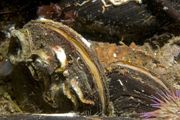
This indicator estimates the potential physical loss of biogenic habitats caused by human activities. The indicator uses the spatial overlap between predicted suitable habitat for horse mussel (Modiolus modiolus) reefs and seagrass (Zostera marina) beds and the footprints of activities most likely to result in physical loss of the assessed habitats.
The latest results are: Not met (Greater North Sea), Not met (Celtic Seas).
Intertidal Community Temperature Index
Reporting Applications: UK Marine Strategy
Latest Assessment:
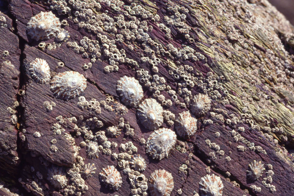
The Intertidal Community Temperature Index (CTI) quantifies the status of rocky shore communities by tracking cold- and warm-water species composition. It reveals responses to climate-driven temperature changes across regions and time, highlighting how human activities intensify climate impacts on intertidal habitats.
The latest results are: Uncertain (Greater North Sea), Uncertain (Celtic Seas).
Birds
Marine bird abundance
Reporting Applications: OSPAR, UK Marine Strategy; Environmental Indicator Framework
Latest Assessments:
Environmental Indicator Framework
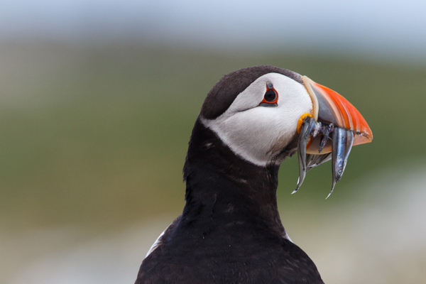
The indicator looks at temporal trends of ‘relative breeding abundance’ or ‘relative non-breeding abundance’ of marine bird species. Relative abundance is the number of adult birds or breeding pairs estimated each year as a proportion of a baseline. Rapid changes in number can indicate human-induced impacts and, supported by species-specific assessment values for the extent of decline, can serve as a prompt for management action.
The latest results are: Not met (Greater North Sea), Not met (Celtic Seas).
Marine Bird Breeding Productivity

Reporting Applications: OSPAR, UK Marine Strategy
Latest Assessments:
Breeding productivity is a measure of how successful reproduction of marine birds is in a given breeding season. This assessment describes changes in breeding productivity of marine birds throughout the North-East Atlantic. The assessment is based on how many chicks are fledged (having wing feathers that are large enough for flight) annually, per pair, clutch or nest. A threshold is set uniquely for each species in each Region to define the growth rate which, if sustained, would lead to a decline in population size of ≥ 30% over three generations, which is consistent with the IUCN red-listing criteria for species that are ‘Vulnerable’ (IUCN 2012).
The latest results are: Not met (Greater North Sea), Not met (Celtic Seas).
Kittiwake breeding success
Reporting Applications: UK Marine Strategy
Latest Assessments:
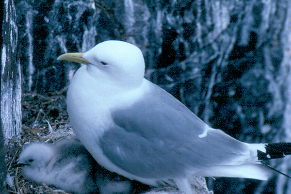
The kittiwake breeding success indicator measures if breeding success of kittiwakes is impacted by human activities over and above the negative impacts from climate change. This indicator looks at the annual breeding success of kittiwakes (number of chicks fledged per pair) and plots this against sea-surface temperature. A mathematical model is used to predict breeding success under expected prevailing climatic conditions. If kittiwake breeding success were significantly lower than predicted this may indicate other impacts – possibly anthropogenic.
The latest results are: Not met (Greater North Sea), Not used (Celtic Seas).
Invasive mammal presence on island seabird colonies
Reporting Applications: UK Marine Strategy
Latest Assessments:
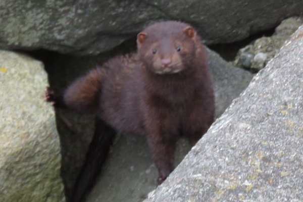
The invasive mammal indicator assesses whether current management measures (including biosecurity) are reducing the risk of invasive mammals impacting vulnerable seabird colonies on protected islands. This indicator measures the number of protected islands on which invasive predatory mammals are present. On those islands where predatory mammals are absent, the biosecurity measures in place were assessed for effectiveness in minimising risk of these mammals arriving.
The latest results are: Met (Greater North Sea), Met (Celtic Seas).
Distribution of breeding and non-breeding marine birds
Reporting Applications: UK Marine Strategy
Latest Assessments:
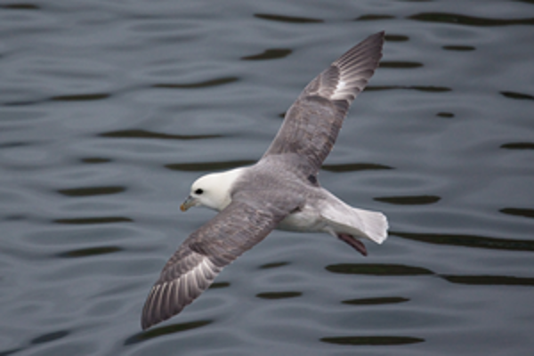
This indicator measures whether the spatial distribution pattern of marine birds in the UK have significantly changed by calculating the ‘Change in Occupancy Rate’ index, which describes the extent of shrinkage or expansion in a species’ range.
The latest results are: Met (Greater North Sea), Met (Celtic Seas).
Cetaceans
Abundance and distribution of cetaceans
Reporting Applications: OSPAR; UK Marine Strategy
Latest Assessments:
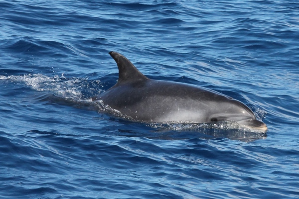
This indicator looks at trends in distribution and abundance of cetaceans and looks at population trends. Assessment have been carried out for the following species: minke whale, fin whale, harbour porpoise, coastal bottlenose dolphin, offshore bottlenose dolphin, white-beaked dolphin, short-beaked common dolphin, striped dolphin, long-finned pilot whale, sperm whale and beaked whales (the latter as a combined species group).
The latest results are: Not met (Greater North Sea), Not met (Celtic Seas).
Marine Mammal Bycatch
Reporting Applications: OSPAR; UK Marine Strategy
Latest Assessments:
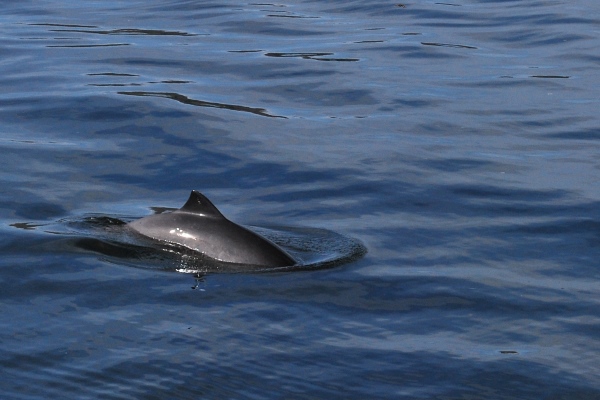
This indicator uses a Bycatch Risk Assessment approach (that considers fishing effort and bycatch rate) to estimate the total annual bycatch of the harbour porpoise, common dolphin and grey seal in a region.
The latest results are: Not met (Greater North Sea), Not met (Celtic Seas).
Seals
Seal abundance and distribution
Reporting Applications: OSPAR; UK Marine Strategy
Latest Assessments:
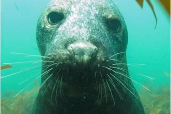
This indicator uses estimates of seal numbers from monitoring programmes that count seals on land when they are moulting or breeding. Assessment was done for the Atlantic grey seal (Halichoerus grypus) and the harbour seal (Phoca vitulina). The aim of this indicator is to determine if populations of both species are in a healthy state, with no long-term decrease in population size, beyond natural variability.
The latest results are: Partially met (Greater North Sea), Partially met (Celtic Seas).
Grey seal pup production
Reporting Applications: OSPAR; UK Marine Strategy
Latest Assessments:
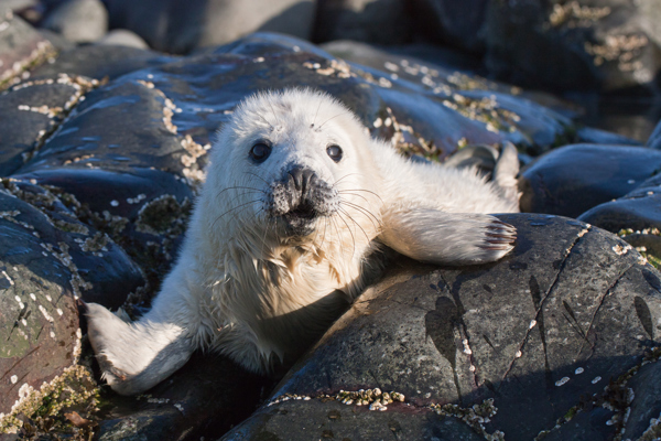
This indicator assesses trends in the number of grey seal pups born at breeding sites in the Greater North Sea and in the Celtic Seas. Grey seals gather to breed at long-established colonies located on islands, sand banks and mainland coastlines around Europe.
The latest results are: Met (Greater North Sea), Met (Celtic Seas).
Categories:
Published: